Measurement
Quantify carbon with precision
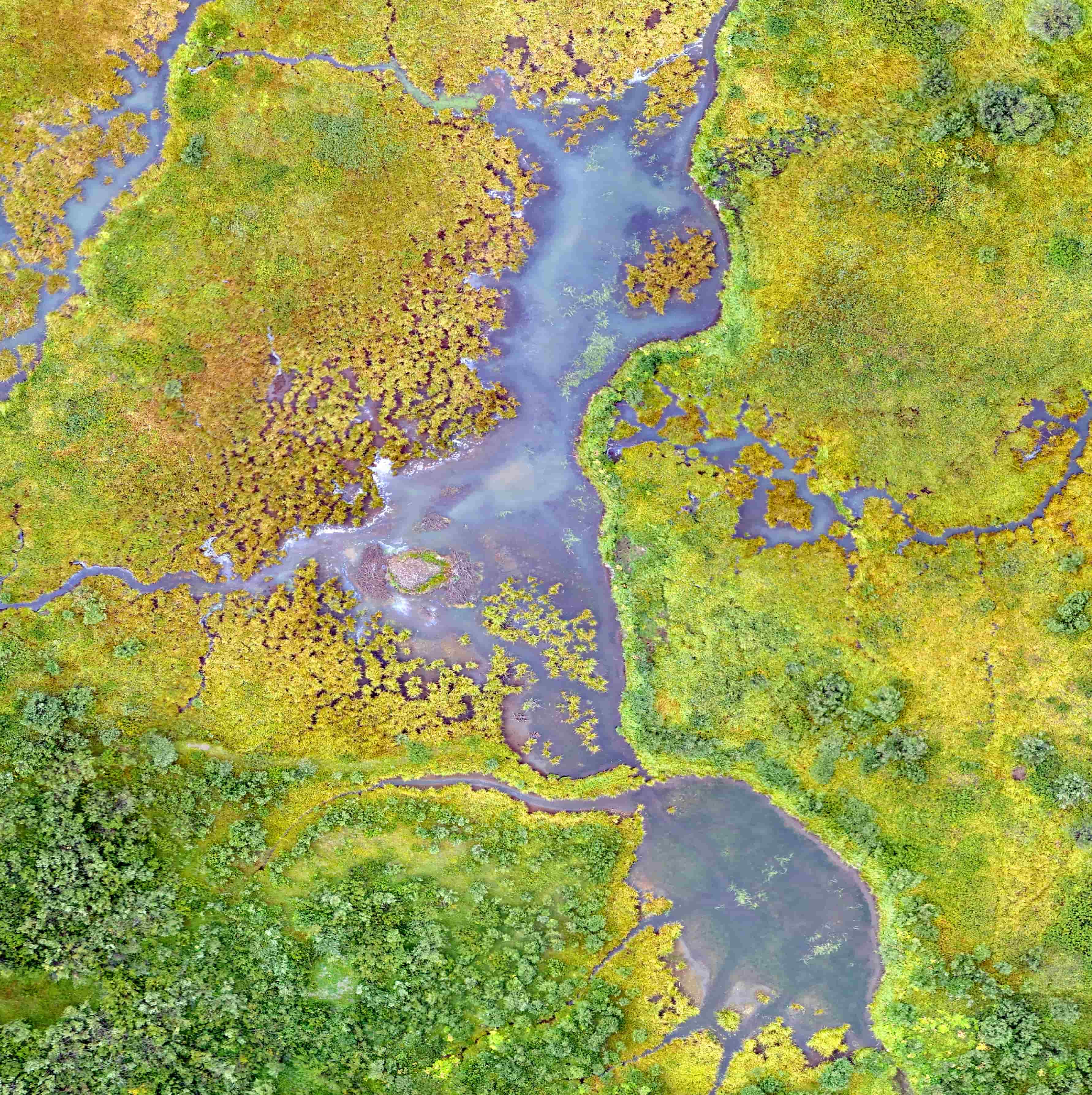
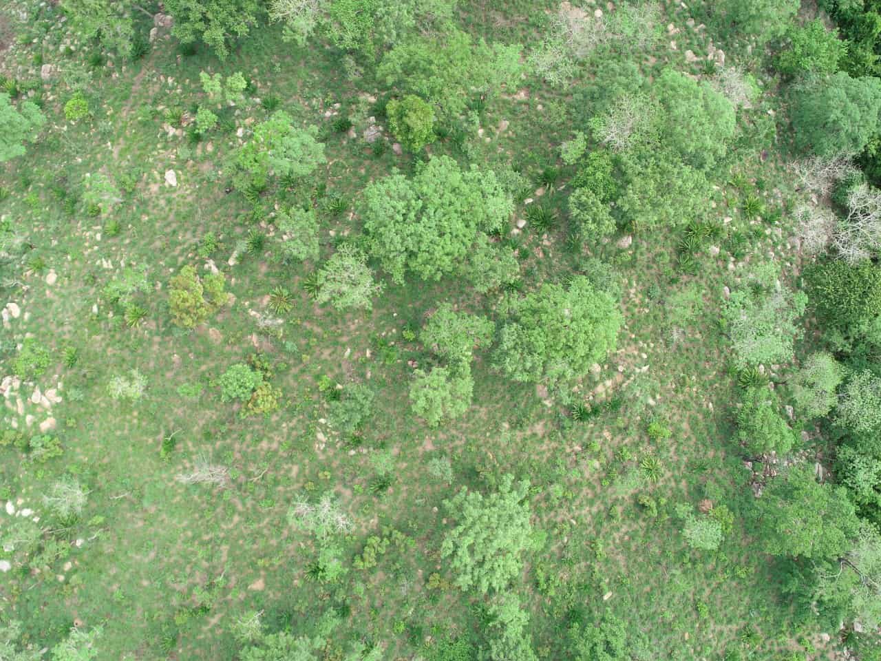
Measurement establishes the scientific basis for any credit claim. We use high-resolution imagery and allometric models to estimate biomass and carbon density across project boundaries, with explicit uncertainty bounds at every reporting period.
- Baseline and project scenario stock assessments
- Temporal monitoring of growth, harvest, and degradation
- Leakage and buffer zone analysis from geospatial layers
- Ground-truth calibration where field plots are available