
Geospatial intelligence for automated carbon measurement, recording, and verification across forestry reserves and nature-based assets.
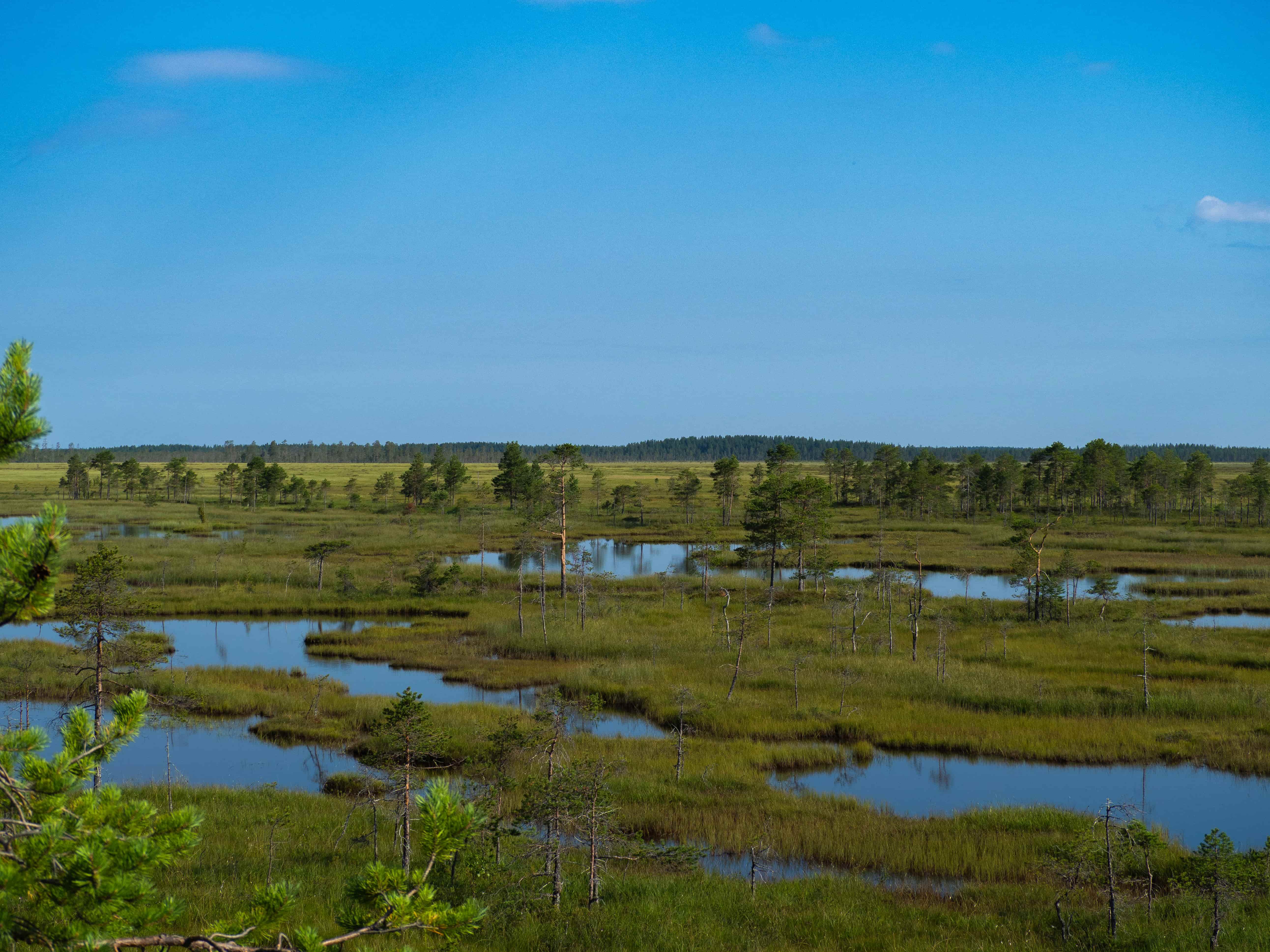
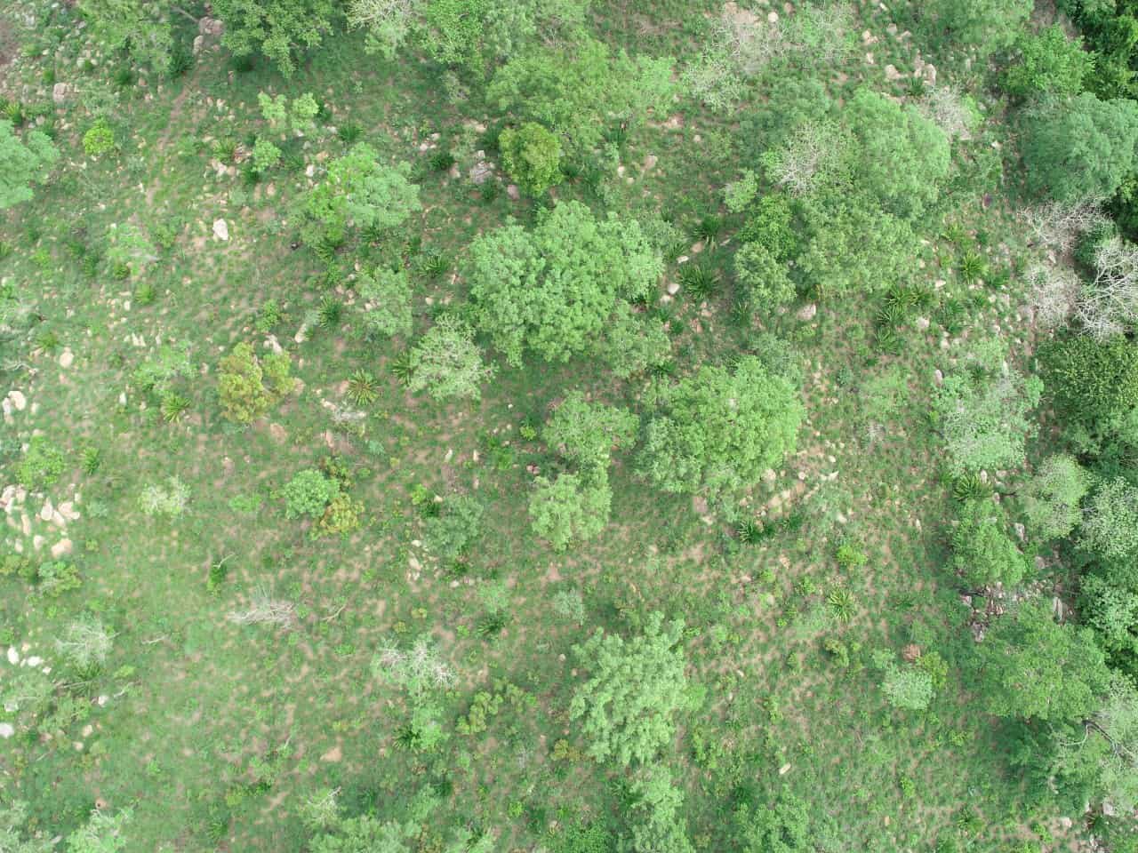
Automated carbon measurement, recording, and verification (MRV). We track forestry reserves and evaluate biomass metrics precisely utilizing targeted high-resolution aerial and satellite observations.
By converting raw overhead data streams into audit-ready metrics, Carbonmetre reduces market friction and ensures complete permanence tracking for nature-based assets.
Connect with our technical team to see how our geospatial pipelines can optimize your project measurement and verification processes.
Contact our Carbon Experts